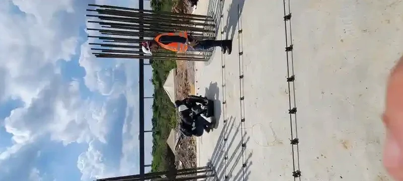
Too many foundation designs in Norfolk rely on assumed Site Class D values lifted straight from the USGS map. That shortcut backfires when the actual subsurface turns out to be Site Class E, soft clay extending fifty feet deep, or even Site Class F on old fill along the Elizabeth River. We run active and passive MASW surveys to measure shear wave velocity directly, giving you a site-specific Vs30 number instead of a generic proxy. The difference can mean a completely redesigned lateral system under ASCE 7-22 Chapter 11, and once rebar is ordered nobody wants that phone call. Our crew sets up a 24-channel spread, records Rayleigh wave dispersion, and delivers a classified seismic site category within days. For sites near the Lafayette River or Ocean View where high groundwater softens the Yorktown Formation, combining the survey with a CPT sounding provides a continuous strength profile that validates the velocity model layer by layer.
Vs30 is not a single-meter measurement. It is the time-averaged velocity through thirty meters of soil, and in Norfolk that top thirty meters can change radically across a single city block.
How we work
Local ground factors
Sites near the Ghent historic district sit on natural sandy loam over the Yorktown Formation, typically yielding Vs30 in the 220–260 m/s range, a solid Site Class D. Drive four miles east toward the Campostella area along the Southern Branch and the profile changes completely: twenty to forty feet of compressible organic silt and loose dredge fill, with Vs30 frequently dropping below 180 m/s. That is the line between Site Class D and E, and the code penalty in ASCE 7 Table 11.4-1 is significant. We have seen two adjacent parcels near the Norfolk International Terminals where one classified as D and the other as E, simply because of a buried paleochannel. Guessing wrong means under-designed foundations, excessive drift, and a structural peer review that will not close out. A single MASW line across the building footprint eliminates the guesswork.
Regulatory framework
ASCE 7-22 Minimum Design Loads and Associated Criteria for Buildings and Other Structures, IBC 2021 Section 1613 Earthquake Loads and Site Classification, ASTM D7400 Standard Test Methods for Downhole Seismic Testing (for cross-reference validation), FHWA-NHI-16-072 Geotechnical Site Characterization (Synthesis of MASW practice)
Related services
MASW Array Survey
Active-source Rayleigh wave dispersion with 24-channel linear array. Delivers 1D Vs profile to 30 meters, Vs30 value, and site class per IBC/ASCE 7.
Passive MAM / ReMi Survey
Ambient noise recording with Tromino or circular array for deeper velocity profiles (50–80 m) when bedrock depth is uncertain or basin effects are a concern.
Combined Seismic + CPT Package
MASW survey paired with CPT soundings at the same location for calibrated Vs–qt correlations. Reduces uncertainty in site classification on marginal profiles.
Typical parameters
Quick answers
What does a MASW survey cost for a typical Norfolk commercial lot?
For a standard commercial lot under one acre with a single MASW array and passive recording, budget between US$1,460 and US$3,270. The range depends on array length, number of source impacts, and whether we need passive MAM recording for deeper velocity control. Sites with limited access or heavy traffic control requirements fall at the higher end.
How long does the field work take and when do we get the site class?
Field acquisition takes two to four hours for a single MASW line with active and passive components. We process the dispersion curve and run the inversion the same day. The preliminary Vs30 value and site class letter are delivered within 24 hours, with the full seismic report following in three to four business days.
Can MASW replace borings for the IBC site classification?
MASW replaces the shear wave velocity component of the site classification, not the entire subsurface investigation. IBC Section 1613.3.2 allows using measured Vs30 directly instead of the default values based on soil type. You still need borings or CPT soundings to characterize the soil profile for bearing capacity and settlement, but the velocity measurement removes the conservatism built into the N-value correlation method.