With a low elevation averaging just 7 feet above sea level and a population exceeding 238,000, Norfolk contends with a subsurface shaped by ancient river channels and centuries of coastal sediment deposition. The city sits on the Atlantic Coastal Plain, where unconsolidated sands, silts, and organic clays create a highly variable foundation environment. Seismic tomography cuts through this uncertainty, mapping P-wave and S-wave velocity contrasts to reveal bedrock depth, paleochannel boundaries, and zones of loose infill that standard borings often miss. For engineers working near the Elizabeth River or planning infill development downtown, the method delivers continuous profiles that tie direct push data to the broader stratigraphy. We combine seismic tomography with targeted CPT testing to calibrate velocity models against measured tip resistance and pore pressure, producing a ground model that holds up to peer review.
A tomographic cross-section reveals what a grid of borings can only infer—continuous velocity boundaries that define the soil-rock interface across the site.
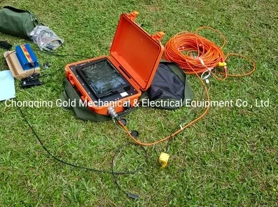
How we work
Local ground factors
Norfolk’s expansion since the 1920s filled miles of tidal creeks and low-lying marshes to create buildable land, leaving behind a patchwork of undocumented fill, buried timber, and organic silt lenses. Seismic tomography helps mitigate the risk of differential settlement by detecting low-velocity zones that correspond to these compressible deposits before excavation begins. A velocity anomaly beneath a proposed mat foundation, for example, may indicate a former creek bed now filled with loose sand and debris—material that would consolidate unevenly under load. Missing such a feature leads to structural distress, cracked slabs, and expensive litigation. By imaging the full cross-section between borings, we reduce the chance of a soft spot escaping detection. The technique also flags abrupt lateral changes in shear-wave velocity that amplify ground motion during the moderate earthquakes possible on the Central Virginia Seismic Zone, informing Site Class boundaries per ASCE 7 Chapter 20.
Regulatory framework
ASTM D5777-18 (Standard Guide for Using the Seismic Refraction Method), ASTM D7400-19 (Standard Test Methods for Downhole Seismic Testing), ASCE/SEI 7-22 Chapter 20 (Site Classification Procedure)
Related services
Refraction Tomography for Bedrock Mapping
Designed for sites where a shallow bearing stratum is suspected beneath loose overburden. We deploy 24- to 48-channel spreads with sledgehammer or weight-drop sources to resolve the top-of-rock surface, identify weathered zones, and estimate rippability for excavation planning.
MASW and Refraction Microtremor for Vs30
An integrated passive-source approach that captures shear-wave velocity to 100 feet depth, meeting IBC site classification requirements. We combine linear and 2D arrays to sample the full soil column, critical when Norfolk’s interbedded sands and clays produce velocity reversals.
Typical parameters
Quick answers
How much does a seismic tomography survey cost for a typical commercial lot in Norfolk?
For a standard commercial lot with a 200- to 300-foot spread length, the survey typically falls between US$2,640 and US$5,320, depending on the number of shot points, array configuration, and whether both P-wave and S-wave data are acquired. Tighter spreads for shallow utility corridors run on the lower end, while deeper bedrock investigations with multiple spreads approach the upper bound.
How does Norfolk’s high water table affect seismic refraction data quality?
A shallow water table saturates the near-surface sands, increasing P-wave velocity and sometimes masking the velocity contrast between fill and natural soil. We counter this by collecting S-wave data with horizontally polarized geophones, because shear-wave velocity is largely unaffected by pore water. The combined Vp/Vs ratio also helps estimate porosity and saturation trends across the site.
Can seismic tomography replace borings for foundation design?
Seismic tomography provides continuous velocity profiles but does not directly measure soil type, strength, or moisture content. It works best when calibrated with a few strategically placed borings or CPT soundings. The velocity model identifies where to drill, and the borings confirm the material at critical boundaries—the two methods are complementary, not interchangeable.
What site access is needed for a tomographic survey in an urban Norfolk setting?
For a refraction line we need a clear path approximately 5 to 10 times the target depth of investigation—typically 200 to 500 feet in a straight or slightly offset line. Asphalt and concrete surfaces require planting geophones with drill-anchored bases. The source impact produces a short, sharp noise; we coordinate with adjacent businesses and obtain necessary right-of-way permits from the City of Norfolk when working in the public right-of-way.